


Finca El Tigre
44.60 Hectare - Ciudad Colón, Mora, San José

Finca El Tigre is a private forest reserve located within the El Rodeo Protective Zone, purportedly the last remnant of primary premontane forest in Costa Rica’s Central Valley. We are located approximately 2 km from the University for Peace and 22 km West of San Jose, latitude 9-54-40 – 9-55-00, longitude 84-17-20 – 84-17-40, altitude: ranges 890 – 560 meters above sea level, area 44.6 hectares.
Finca El Tigre is in a dynamic process of forest regeneration. 70% of the land is covered by old and young growth secondary forest, 18% is composed of several ‘charrales’ (old pasture land in process of forest regeneration) and the remaining area is divided into horse pastures, orchards and gardens.
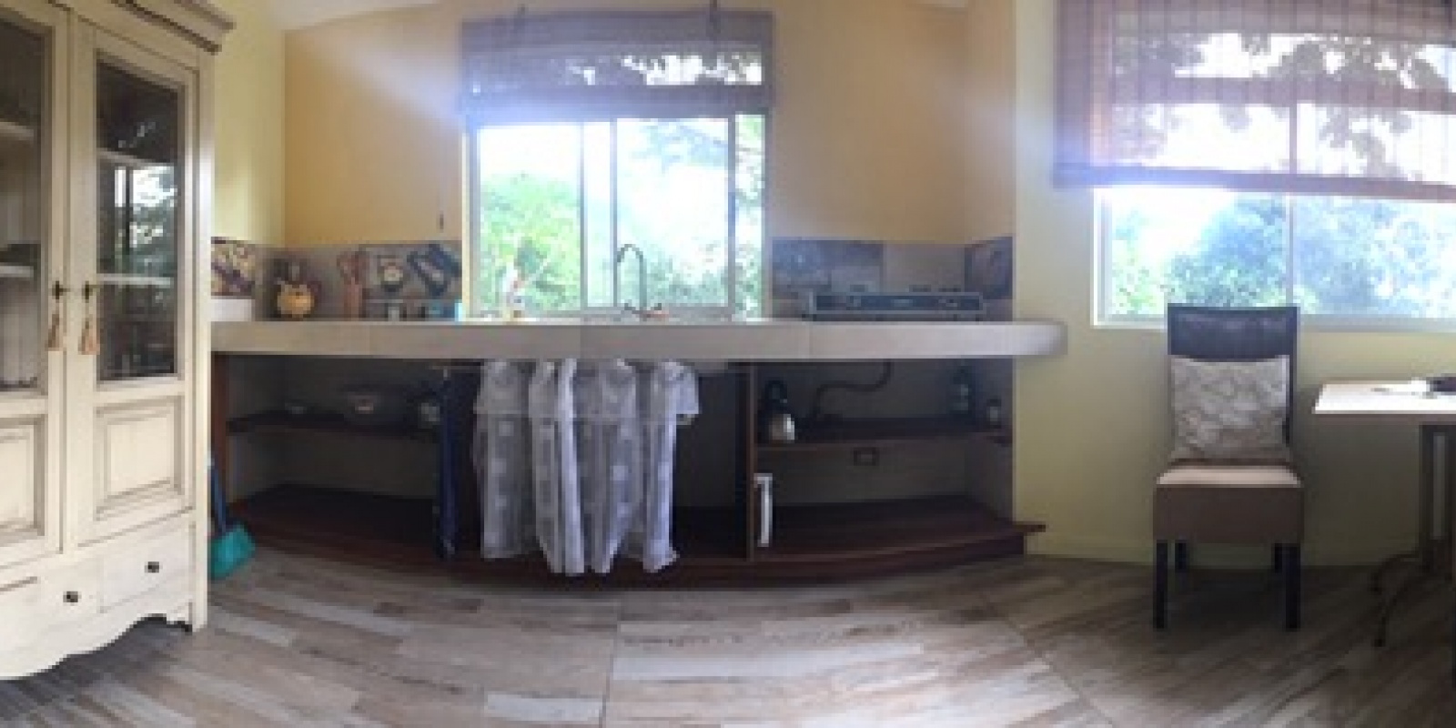
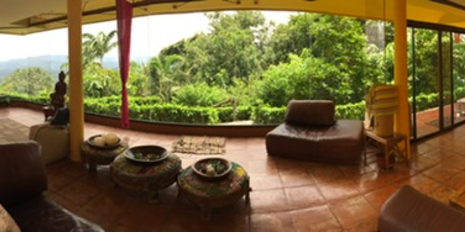
We are entirely off the grid, using solar energy with generator back-up and well water to supply the house, stables and other outbuildings. The climate is pleasantly warm with average temperatures ranging from 21-27 degrees centigrade year round and a six month rainy season beginning in May and tapering off during November.
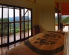
Finca El Tigre Mountain is saturated with a network of springs and streams, which in turn supply the watersheds of Jaris and Virilla Rivers. Micos Creek, running along the northern border of the Finca, is a magical place, though of difficult access, with waterfalls and rapids framed by massive trees.
Other than recharging fresh water, El Tigre’s other primary feature is conserving the large number of fast growing, CO2 fixing trees, including Ceiba (Ceiba pentandra), Pochote (Bombacopsis quinata), Yuco (Bernoullia flammea), Gallinazo (Schizolobium parahyba), Guanacaste (Enterolobium cyclocarpum), Volador (Gyrocarpus jatrophifolius), and many others.
History of El Tigre
Much of Finca El Tigre was used for cultivating annual agricultural crops and cattle grazing until about 50 years ago, when the owners began gradually withdrawing these activities, initially from steep slopes down the mountain and eventually everywhere except pastureland located near the road. As a result of this gradual abandonment of land use, the Finca now has a wide range of successive forest regeneration, from about 50 years to 30 years to 15 years to 2 years, which are fairly clearly identified by old pasture posts and fence-lines and aerial maps.
Segments of Finca El Tigre
In October, 2005, with support from Forestry Engineer, Manuel Víquez Carazo, we used GPS and survey, topographical and aerial maps to differentiate the segments of land, (Topography Coordinates 04-05 and 10 – 11 from Rodeo Page number 3345-IV-15, of the National Geographical Institute), and entered the data on AutoCAD. Hundreds of waypoints positioned the streams, trails, large trees and overall type of vegetation on the maps. In May, 2006, Manuel returned to map out new trails, which we had cut through secondary forest in order to identify and study species found there.
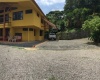
Administrative area (gardens, buildings, orchards)
1.5 Hectares
3.36% of total area
Pastures
4.0 Hectares
8.96% of total area
Charrales
8.1 Hectares
18.14% of total area
YoungSecondaryForest
14.9 Hectares
36.11% of total area
OldSecondaryForest
14.9 Hectares
33.43% of total area
Total
44.6 Hectares